 CZ
360° panorama · new
Drone 360° panorama
An aerial view your website visitors can look around with a mouse or a finger. For developers, real estate, companies and towns in Brno and South Moravia.
- Use
- website, listings, Google Maps
- Deliverables
- panorama JPG, web viewer, link
- Delivery
- together with the package
- Area
- Brno, South Moravia, whole Czech Republic
A 360° panorama is a spherical photo taken from a single point in the air. At a set altitude the drone captures dozens of images in every direction and below, and stitches them into one image. On a website it is shown in a viewer where people can look around, zoom and rotate.
Look around
 360°
Click and look around
A panorama above Ostrava in autumn. Look around with a mouse or finger, scroll to zoom.
What a 360° panorama is for
A regular photo shows one direction. A panorama shows everything around: where the forest, school, motorway or city centre is. Visitors look around on their own and stay on the page longer.
Who it is for
| Who | Use |
|---|---|
| Developers | the view from future floors, surroundings of a project for sale |
| Real estate | plot and surroundings: school, forest, motorway in one spin |
| Companies, wineries, campsites | a site tour on the website, a panorama on Google Maps |
| Towns | a view over the town for the website and tourist information |
The view from a future apartment
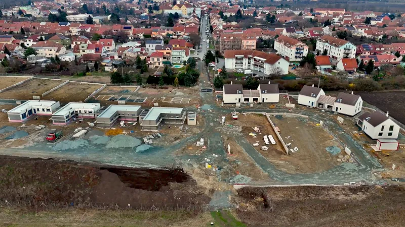
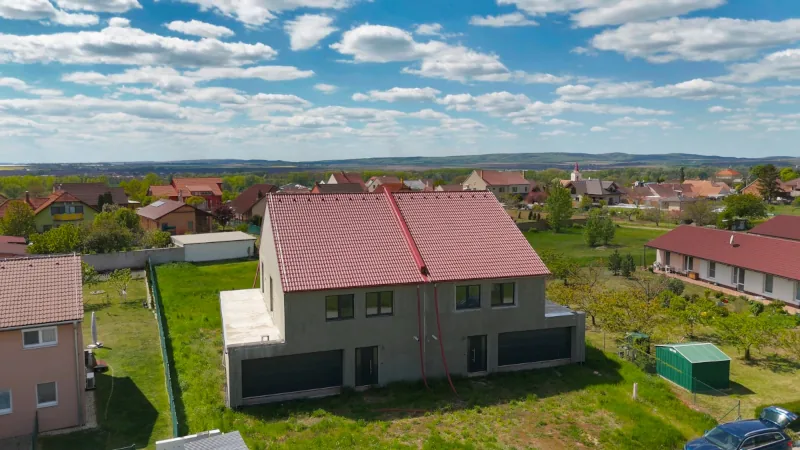
For a development project I fly above the plot to the height of a specific floor and capture a panorama. Buyers can look around online and see the view from the window before construction starts. One flight can cover several floors. More on video and time-lapse for developers.
Deliverables
- high-resolution 360° panorama (JPG)
- a ready-made viewer for your website, no subscription
- regular photos of the view cropped from the panorama
- help with uploading to Google Maps on request
How it works
- Brief. Location, altitude or floor, and what the panorama is for.
- Flight. I check the location and restrictions and fly in good light. A panorama takes only a few minutes of flight, so it can be added to any shoot.
- Editing. Stitching, colours and horizon levelling.
- Delivery. Files and viewer together with the rest of the package.
360° panorama FAQ
How much does a 360° panorama cost?
I add a panorama to any package (Start, Standard, Profi). The price depends on the number of spots and is included in the quote I send within 24 hours.
How do I put it on my website?
I deliver the panorama file and a ready-made viewer that you embed as one block of code, or your web developer does it. No monthly fees and no third-party service.
Can it go on Google Maps?
Yes. A 360° panorama can be uploaded to your business or place on Google Maps, where people open it right from the profile. I can help with the upload.
How high can the drone go?
Usually from a few metres above ground up to 120 m. For an apartment view I set the altitude to the floor you want to show. Some locations have restrictions, which I check in advance.
Does it work on mobile?
Yes. On mobile the panorama rotates with a finger, and the viewer loads only after a tap, so it does not slow the page down.
What else I do
Tell me about your project.
A few sentences are enough. I usually reply within 2 hours and send a proposal with a price within 24 hours.
 Where I flyBrno, South Moravia and all of Czechia · travel within 20 km includedService area map →